GIS Mapping
Tiltan's Mapping services provide an end-to-end solution for automatic generation of GIS Layers (DTM, building vectors, orthophoto and more) from LiDAR scanning and photogrammetry.
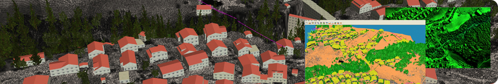
Employing advanced tools and unmatched, rich mapping know how, our solution successfully models the most challenging geographical areas such as dense urban environments and jungles, including highly accurate mapping under the tree canopy. Civil engineering groups, power companies, local municipalities and governmental mapping centers around the world depend on Tiltan Mapping solutions to gain a 3D photorealistic presentation of their fields of operation.
Our mapping solution stands apart in its ability to generate accurate GIS layers from aerial photogrammetric data, LiDAR data or a combination of both. When needed, we also handle the procurement or generation of the raw data.
Our field-tested workflow, automates the geo-mapping process – from camera source data, through block adjustments, the creation of a 3D point cloud and up to the final mapping products – whether orthophoto, DSM (Digital Surface Model), or DEM (Digital Elevation Model). We use a range of methods and proprietary technologies to accelerate the process and ensure high-quality results. These include automatic multi-image mapping and block bundling, highly-accurate 3D point cloud generation and automatic true orthophoto and 3D model generation.
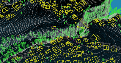
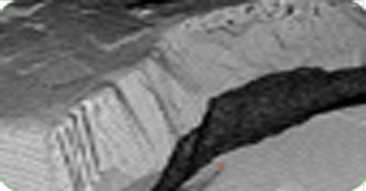
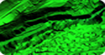
With LiDAR data, we automatically process geo-referenced point clouds into GIS layers and 3D models. This includes automatic LiDAR point classification, extraction of elements (buildings, trees, power lines), analysis of raw data density and coverage and generation of 3D photorealistic model.